Page Not Found
Page not found. Your pixels are in another canvas.

A list of all the posts and pages found on the site. For you robots out there is an XML version available for digesting as well.
Page not found. Your pixels are in another canvas.
SLAM engineer — visual SLAM, localization and mapping for autonomous driving.
This is a page not in th emain menu
Published:
Published:
Published:
Published:
Published:
Published:
Published:
Published:
Published:
Published:
Published:
Published:
Published:
Published:
Published:

Published:
This blog describes some of the methods I have personally explored for stereo mapping.
Published:
Published:
Published:
The autonomous driving simulation platform which connect baidu apollo system and uisee driving system 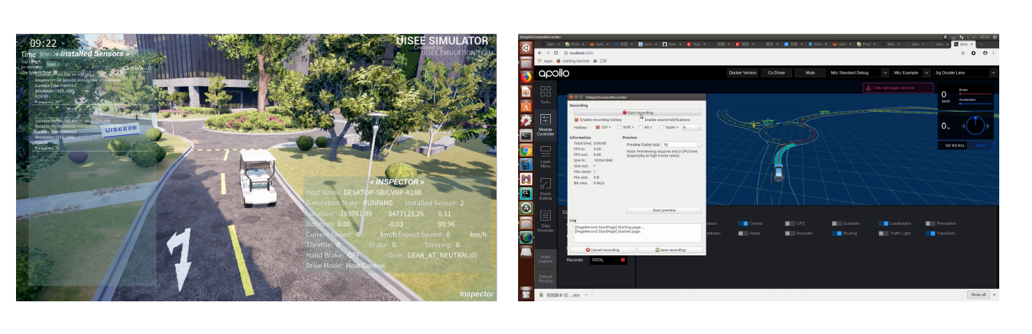
The autonomous driving simulation AI Car routing method 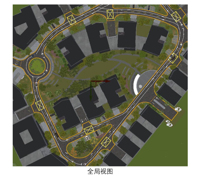
The autonomous driving localization system based on hdmap 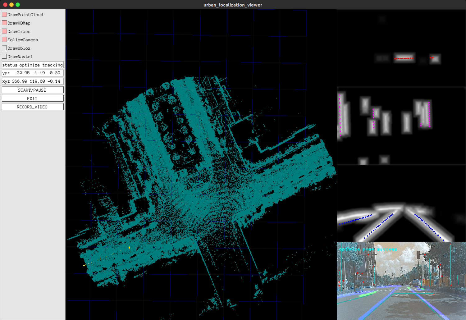
extrinsic parameters calibration system based on photometric consistence (direct method in vslam) 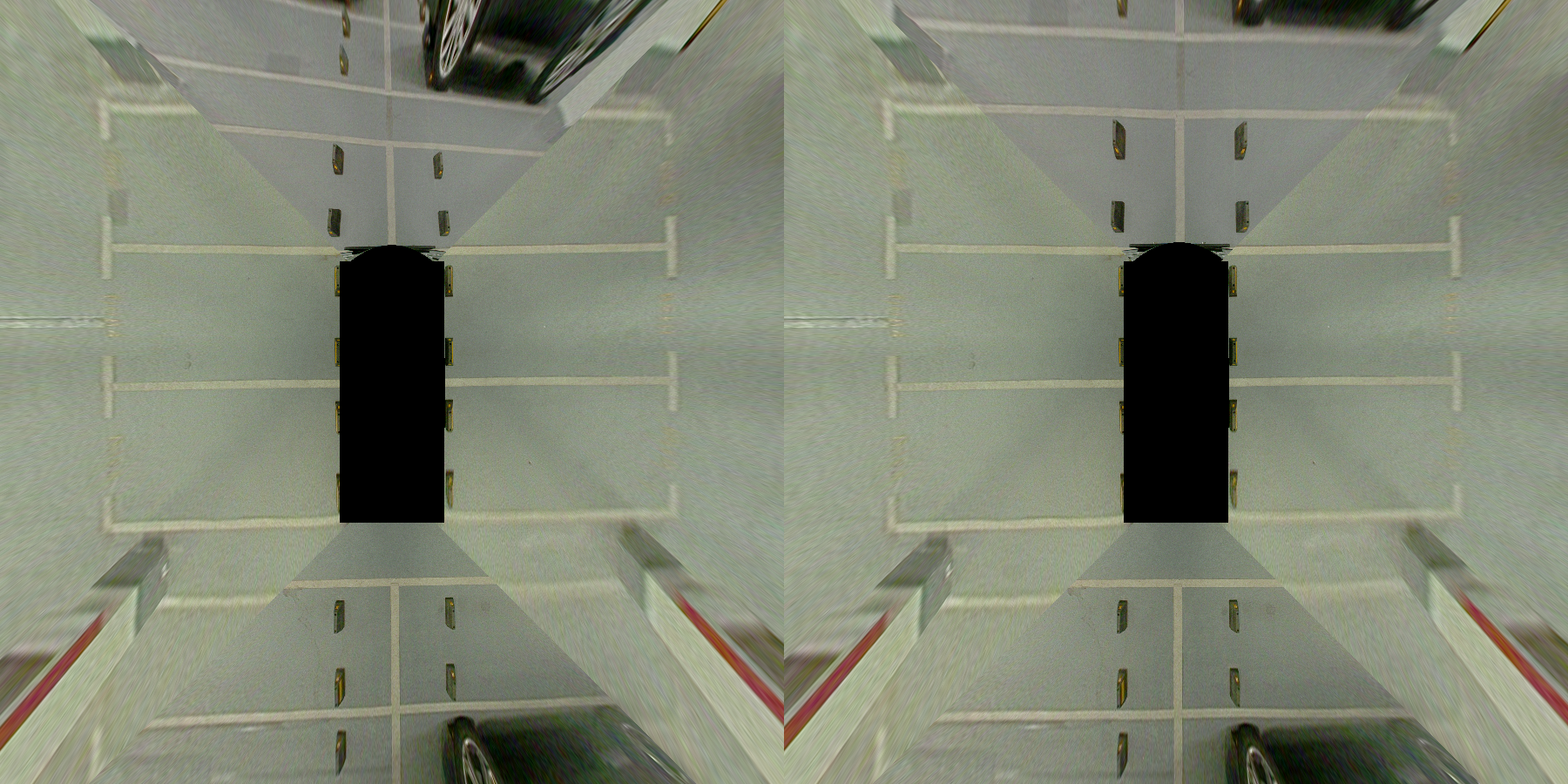
Published in ELECTRONIC MEASUREMENT TECHNOLOGY, 2017
An automatic method for extracting elliptical measurement marker points from images
Download here
Published in 2017 International Symposium on Planetary Remote Sensing and Mapping, 2017
The paper proposes an on-orbit attitude estimation method of star sensors and gyro based on Complementary Filter (CF) and Unscented Kalman Filter (UKF).
Download here
Published in Fenglin Academic Forum, 2017
A mathematical solution to indoor localization based on wireless communication base stations
Download here
Published in Journal of Tongji University, 2018
This paper presents a practical novel approach for tilt measurement of ancient pagodas and the criterion quality evaluation.
Download here
Published in Master Thesis, 2018
satellite attitude estimation method
Download here
Published in , 2019
patent.
Download here
Published in IEEE Transactions on Geoscience and Remote Sensing, 2019
This paper presents a novel illumination-robust subpixel Fourier-based image correlation method based on phase congruency.
Download here
Published in IROS 2019 · VINS Workshop, 2019
Download here
Published in , 2019
patent.
Download here
Published in IROS 2021, 2021
vision localization
Download here
Published in , 1900
This invention relates to the technical field of autonomous driving and visual localization. Specifically, it is a coarse-to-fine multi-sensor fusion localization method based on semantic edge alignment, comprising the steps of obtaining an HD map, raw images, a consumer-grade vehicle-mounted GPS, and wheel odometry. This invention is a low-cost, primarily vision-based high-accuracy localization method that obtains robust localization results by fusing odometry and vehicle-mounted GPS information. By extracting stable semantic features from images and performing semantic edge alignment, it estimates the vehicle pose. The alignment approach does not require explicit data association between 3D map features and 2D image features; instead, it implicitly estimates the pose by minimizing the photometric residual of the projected points.
Published in , 2022
patent.
Download here
Published in , 2022
patent.
Download here
Published in , 2022
patent.
Download here
Published in , 2022
patent.
Download here
Published in , 2022
patent.
Download here
Published in , 2022
patent.
Download here
Published in Invention Patent, 2022
patent.
Download here
Published in , 2022
patent.
Download here
Published in , 2022
patent.
Download here
Published:
This is a description of your talk, which is a markdown files that can be all markdown-ified like any other post. Yay markdown!
Published:
This is a description of your conference proceedings talk, note the different field in type. You can put anything in this field.
Undergraduate course, University 1, Department, 2014
This is a description of a teaching experience. You can use markdown like any other post.
Workshop, University 1, Department, 2015
This is a description of a teaching experience. You can use markdown like any other post.