Coarse-to-fine Semantic Localization with HD Map for Autonomous Driving In Structural Scenes
Published in IROS 2021, 2021
Robust, low-cost localization for autonomous driving using cameras together with an HD map. Instead of relying on expensive sensor suites, the method casts visual localization as a data-association problem — matching image semantics to landmarks in the HD map — and refines the vehicle pose with pose-graph optimization.
Key ideas
- Semantic ↔ map association. Vehicle localization is framed as associating visual semantics (lane lines, poles, signs) in the image with landmarks stored in the HD map.
- Coarse-to-fine initialization. A coarse GPS prior is refined by a fine pose search, avoiding the accurate-initial-pose requirement that trips up prior methods.
- Semantic tracking. During tracking, the pose is refined by implicitly aligning the image’s semantic segmentation with HD-map landmarks under a photometric-consistency objective.
- Sliding-window optimization. The final trajectory is computed by pose-graph optimization in a sliding-window fashion.
- Mono & multi-camera. The same formulation works for a single camera or a multi-camera rig, improving robustness.
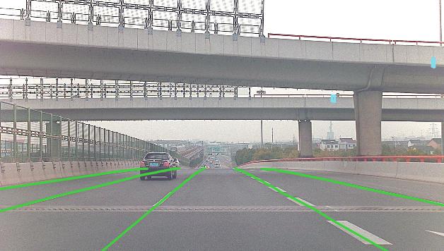
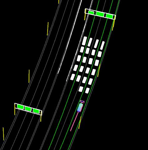
Evaluated on two datasets, the approach yields promising localization across different driving scenarios. Accepted at IROS 2021, and featured by Nullmax.ai.
Comments