Map Introduction In nuScenes Dataset
Map Introduction In NuScenes Dataset
NuScenesMap
Brief view
class NuScenesMap. The map is a two-dimensional semantic vector map, and this map class is mainly responsible for querying and retrieving map information. The map uses the south-western corner as its origin. The latitudes and longitudes of the origins of the four maps are as follows:
boston-seaport: [42.336849169438615, -71.05785369873047]
singapore-onenorth: [1.2882100868743724, 103.78475189208984]
singapore-hollandvillage: [1.2993652317780957, 103.78217697143555]
singapore-queenstown: [1.2782562240223188, 103.76741409301758]
The dimensions (width & height) of the four maps are as follows, unit (m):
singapore-onenorth: [1585.6, 2025.0]
singapore-hollandvillage: [2808.3, 2922.9]
singapore-queenstown: [3228.6, 3687.1]
boston-seaport: [2979.5, 2118.1]
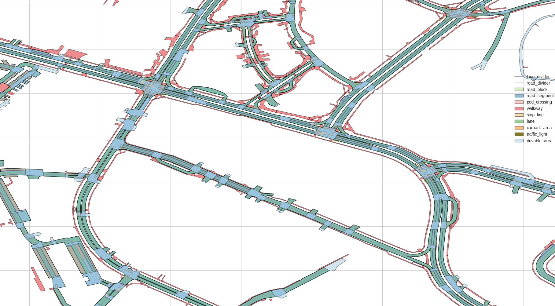
The map is rasterized into an image at 10 pix/m, so its image extent is 10 times the ranges given above. The map is divided into two layers: a geometric layer and a non-geometric layer. The geometric layer includes (polygon, line, node), and the non-geometric layer includes (drivable_area, road_segment, road_block, lane, ped_crossing, walkway, stop_line, ‘carpark_area’, ‘road divider’, ‘lane divider’, ‘traffic light’). The NuScenesMap API provides support for rendering the different map layers, as well as rendering the different records within a given layer.
map element detail
Descriptions of the elements in the map JSON file:
- node list
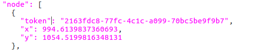
where token is the id, and x, y are local coordinates with the south-western corner as the origin
- line list
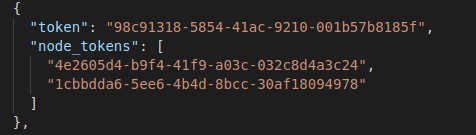
where token is the id, and node_tokens describes the two endpoints that this line connects
- polygon list
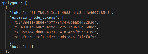
where token is the id, exterior_node_tokens describes the outer boundary of the polygon, and holes describes the inner boundaries of the polygon
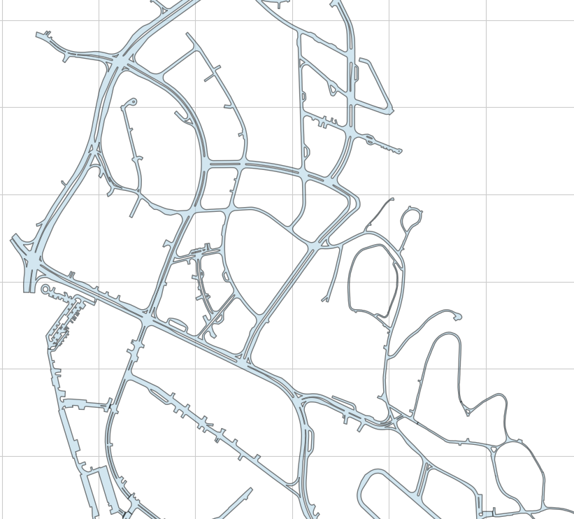
- drivable_area
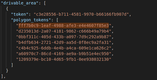
Visualization
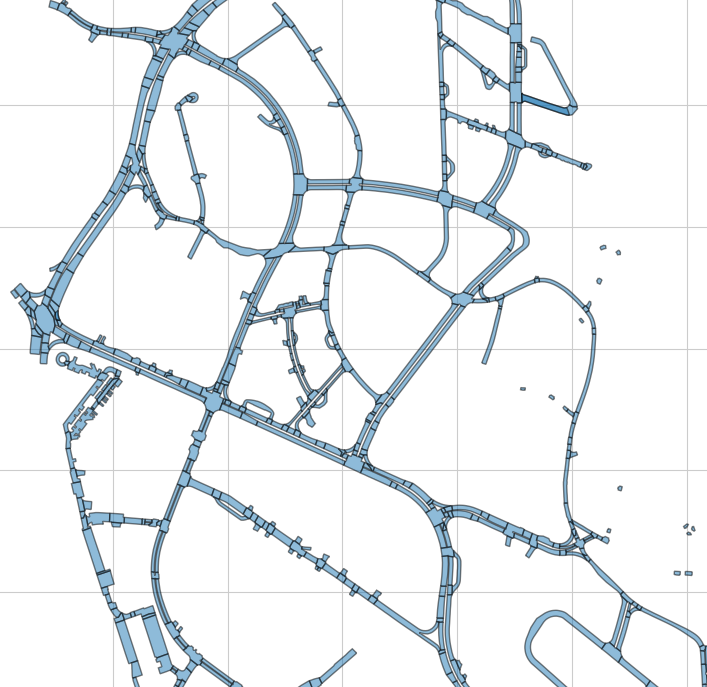
- road segment
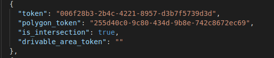
is_intersection indicates whether it is located at an intersection
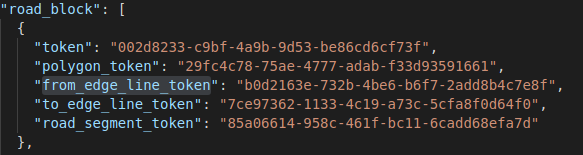
- road block
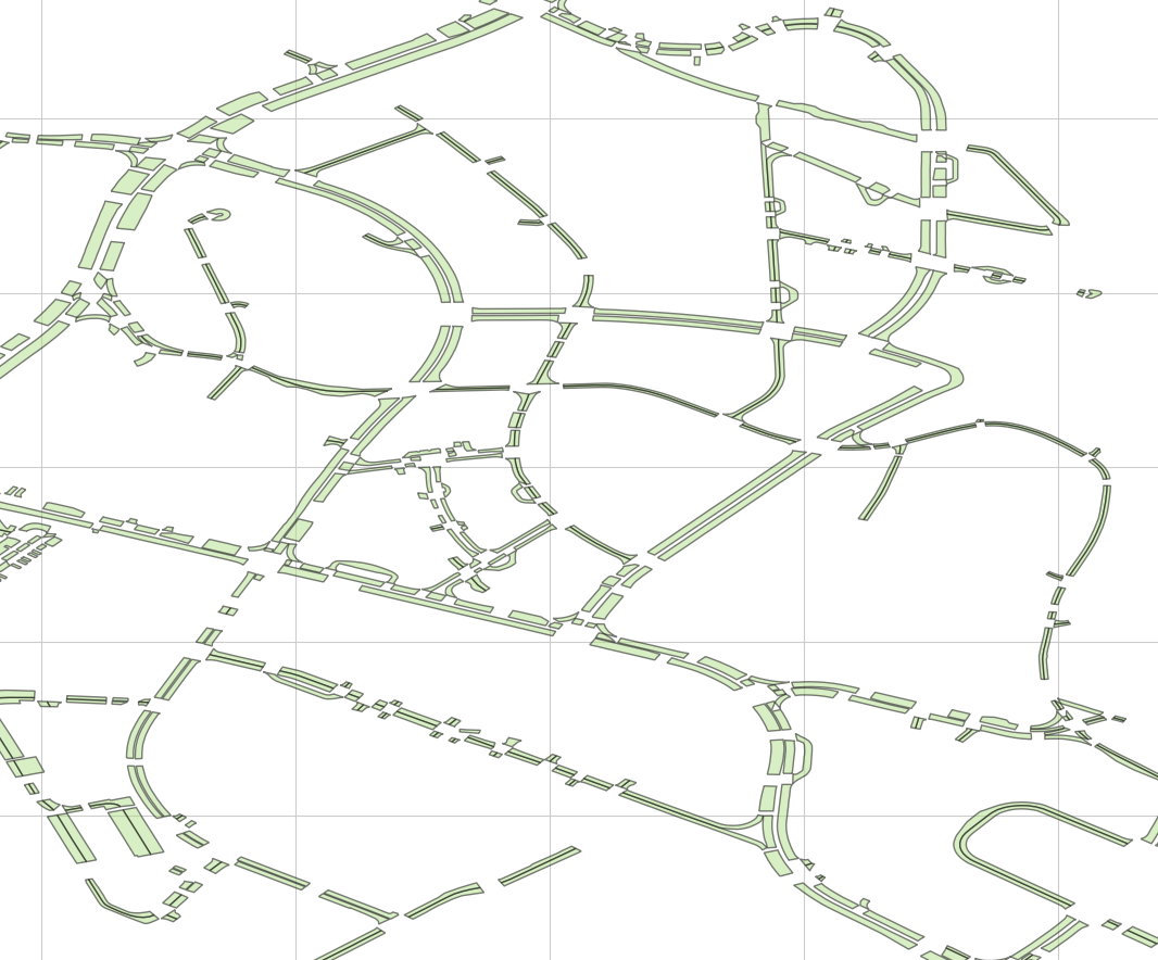
- lane
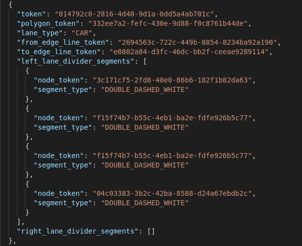
Describes information such as the lane’s boundaries and type
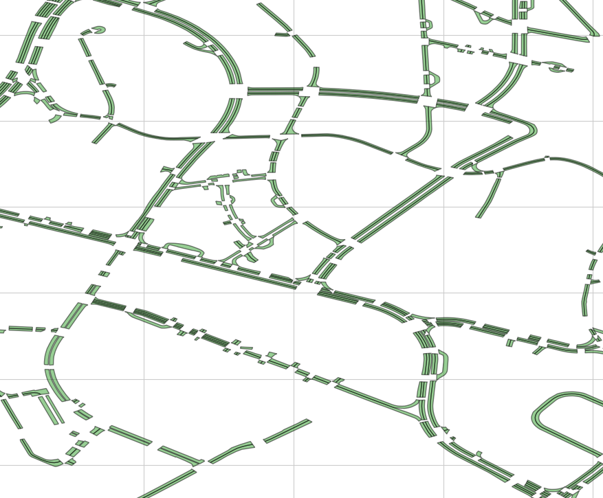
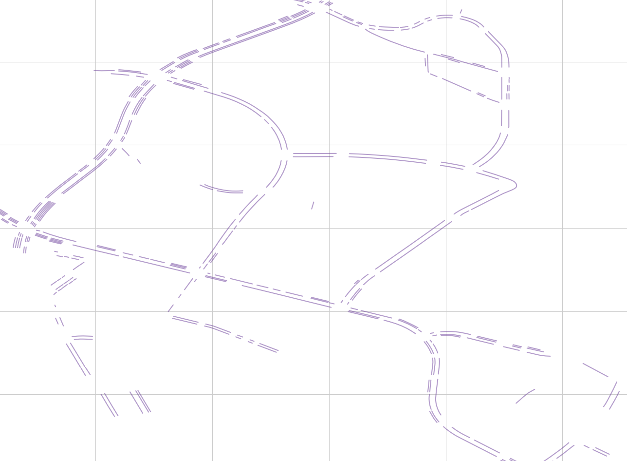
- lane divider
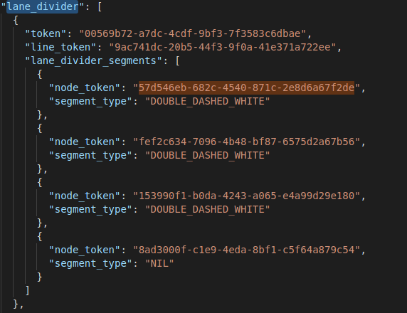
Description of the lane divider: nodes, line segments, and lane type
- non_geometry_layer
HD Lidar Basemap
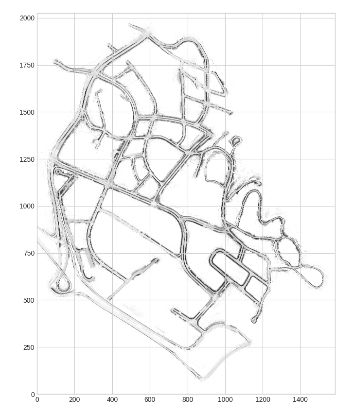
HD lidar base map is used for localization and as general context. Four related maps are provided: singapore-onenorth, singepore-hollandvillage, singapore-queenstown, and boston-seaport.
The figure below shows the basemap of singapore-onenorth
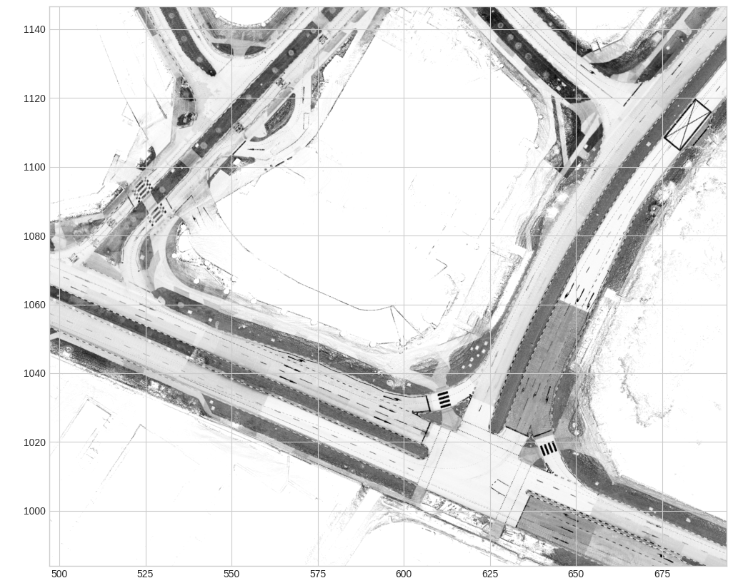
The figure below shows the semantic_prior map of singapore-onenorth
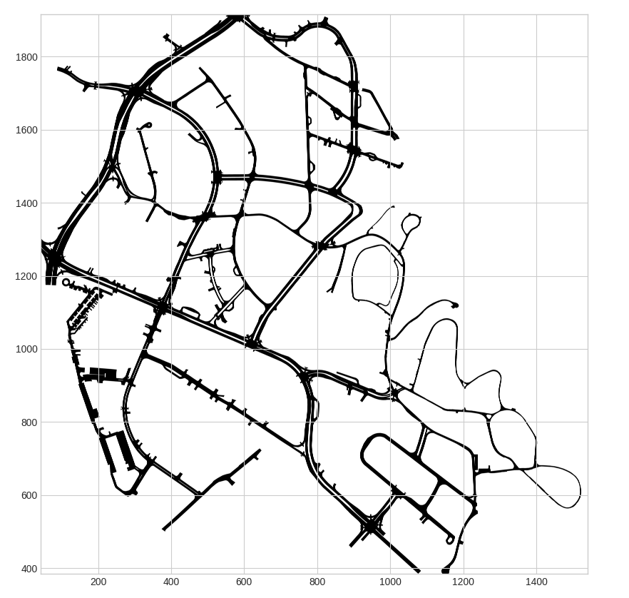
This is the semantic prior mask provided in nuScenes 1.0 (drivable surface and sidewalks)
Overlay of the lane centerlines and the lidar base map: 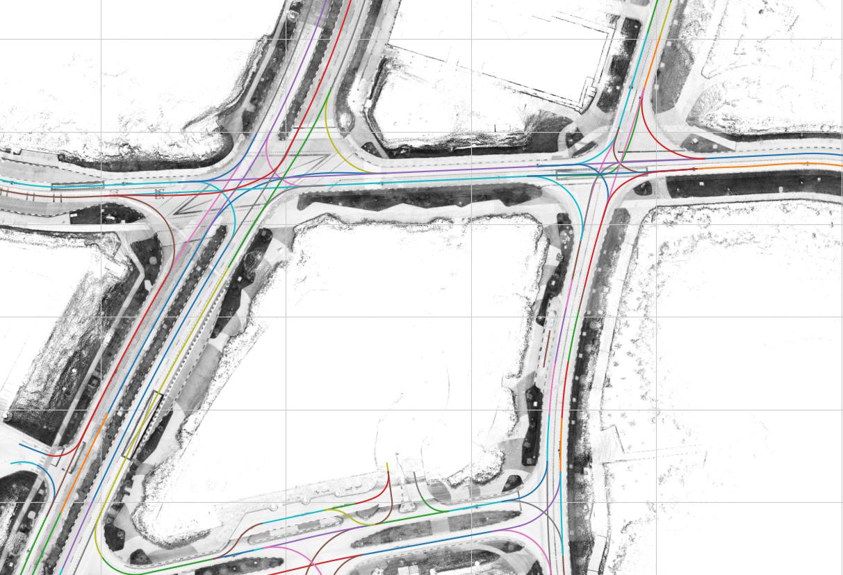
Overlay of different semantic layers and the lidar base map 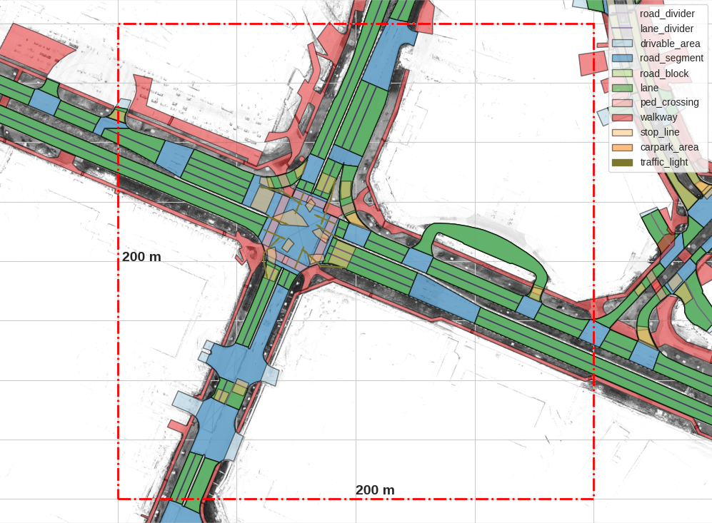
Comments